The hike to Angels Rest Overlook is on a segment of the Appalachian Trail located in Pearisburg, VA. Directions from Blacksburg: 460W for ~25 miles, take the exit for SR 100, turn right onto Johnston Avenue, turn right onto Morris Avenue, and drive for a half mile until you see Appalachian Trail signs showing where the trail crosses the road. Continue reading “Angels Rest Overlook – AT Day Hike, Camping – Pearisburg, VA”
Category: Appalachian Trail
Dragons Tooth Trail – AT Hiking Loop, Camping – Catawba, VA

Dragon’s Tooth is located west of Roanoke, Virginia. From Blacksburg, directions are: take Mt Tabor Rd (State Route 624) north, left on VA-311, and a quick left at the sign for the trail. Hiking and camping are the primary activities on the trail. Continue reading “Dragons Tooth Trail – AT Hiking Loop, Camping – Catawba, VA”
McAfee Knob – Appalachian Trail Day Hike, AT Shelters – Roanoke, VA

McAfee Knob is located northwest of both Roanoke, Virginia and I-81. From I-81, take exit 140 or 141, head north, and follow VA-311 N 5.6 miles to the trailhead; located at the top of a ridge. Continue reading “McAfee Knob – Appalachian Trail Day Hike, AT Shelters – Roanoke, VA”
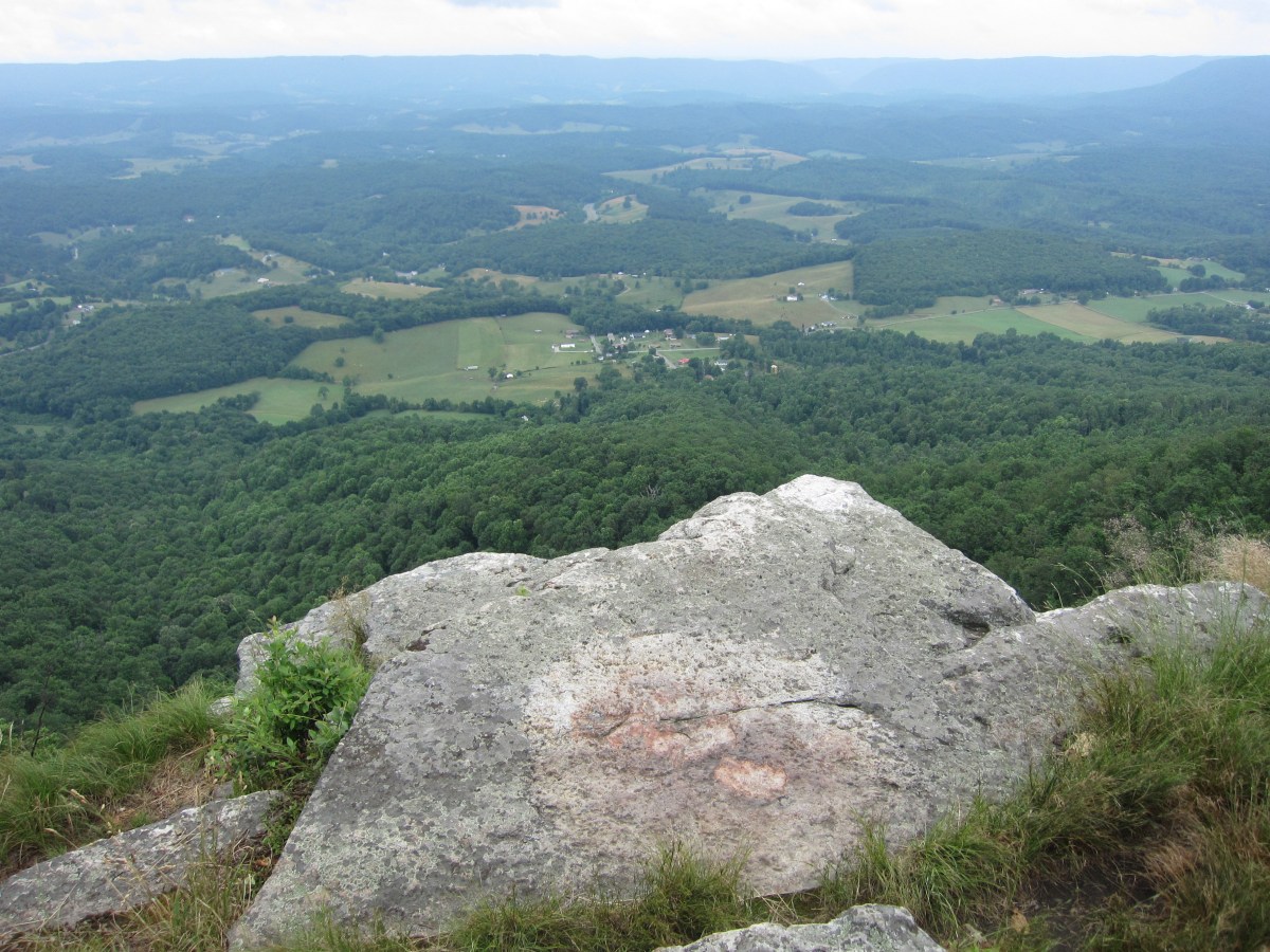
Kelly Knob Overlook – Appalachian Trail Day Hike – Blacksburg, VA
Kelly Knob Overlook is about seven miles north of Newport, Virginia. From Blacksburg, take US-460W for 8 miles, turn right on VA-42 E/Blue Grass Trail, turn left on Clover Hollow Rd/State Route 601, and continue on it for 6.7 miles until it reaches an intersection with the Appalachian Trail. Continue reading “Kelly Knob Overlook – Appalachian Trail Day Hike – Blacksburg, VA”
