
Cascades Trail and recreation area in Pembroke, Virginia is a little over 20 miles northwest of Blacksburg. Drive on US 460W for 13 miles, take a right turn onto SR 623/Cascade Drive, and drive for four miles to the parking lot. Continue reading “Cascades 66 Foot Waterfall Hike – Trail Map – Pembroke, VA”
Colorado Mountain Biking Trails – Boulder, Fort Collins, Loveland, Lyons

Colorado’s Northern Front Range includes lots of mountain bike trails that can be fun for everyone from beginners to experts. The following are trails we have documented with each ranked by difficulty within its region. Continue reading “Colorado Mountain Biking Trails – Boulder, Fort Collins, Loveland, Lyons”
Best Hikes for Dogs in Fort Collins, Colorado

In 2008, we hiked a lot of the trails along Colorado’s northern front range. Even though we do not own a dog, we observed each trail that we explored to determine which were dog friendly. The following were my top five hiking trails for dogs in Fort Collins. Continue reading “Best Hikes for Dogs in Fort Collins, Colorado”
Jacks Peak – Monterey, CA
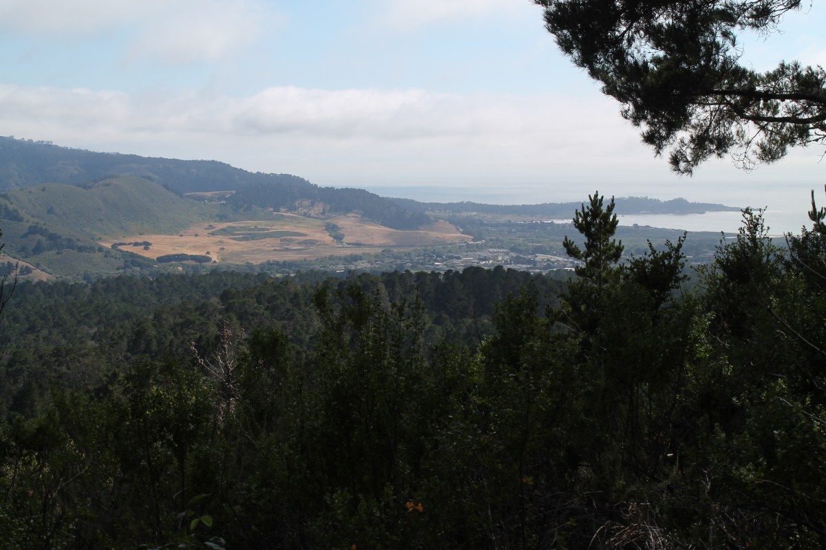
Jacks Peak Park was located four miles east of highway 1. Continue reading “Jacks Peak – Monterey, CA”
Los Trancos Open Space – Los Altos, CA

Los Trancos Open Space Preserve was located six miles west of I-280 on Page Mill Road; which was narrow and curvy. Continue reading “Los Trancos Open Space – Los Altos, CA”
Montini Open Space Preserve – Sonoma, CA
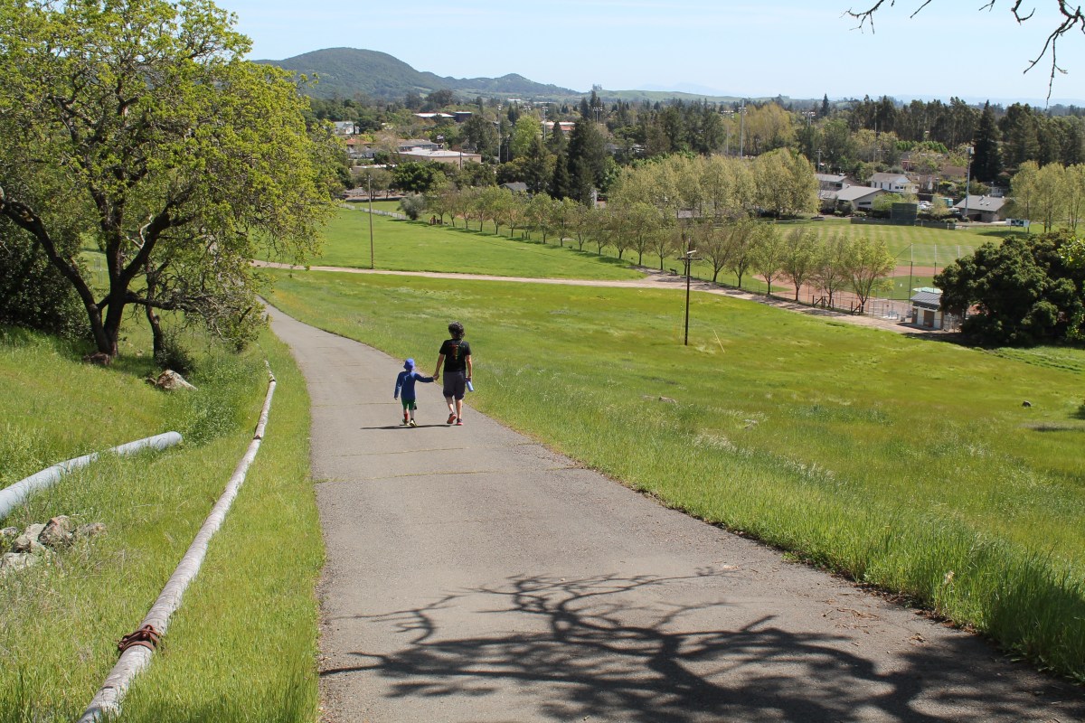
The Montini Open Space was located a half mile north of Sonoma Plaza. We parked at the 4th Street trailhead. Continue reading “Montini Open Space Preserve – Sonoma, CA”
Sonoma Overlook Trail – Sonoma, CA

The Sonoma Overlook Trail was located a half mile north of Sonoma Plaza. We parked at the lower trailhead and arrived there by driving north on 1st Street W. Continue reading “Sonoma Overlook Trail – Sonoma, CA”

You must be logged in to post a comment.