Please note this trail system is no longer active, probably not active since 2011 or so.
The Radford Mountain Bike Park was located south of Radford, Virginia. Directions from Blacksburg: take I-81S to exit 105, turn right onto Main Street, take a quick left onto Little River Road, go under the highway, take a left onto Peterson Drive, and park at the gate. Recreation in the park includes hunting, mountain biking, and hiking. Parking is free and limited in space. A City of Radford permit is required to enter the park. The permit is free and can be picked up at 10 Robertson Street, Radford, VA; which is located a block and a half from the old office at 619 Second Street. I recommend picking up a free trail map when you get your permit. There are signs posted at the gate that dictate whether mountain biking is allowed on a given day. It is recommend to call the Radford Sheriff’s office to find out when mountain biking is allowed. The primary consideration is active hunting seasons so if none are active then most likely the park is open to mountain biking. In addition, hunting is prohibited on Sundays so that would be a good day to visit. The park does not include water or restrooms. I did not see any signs prohibiting dogs. Cell phone service was at medium strength in the park.
From the gate, I biked several hundred feet and then took a right onto the New River Trail (#1 on the free map), which was marked by a wood sign. Once on the trail, I had to work hard to stay on it because it was not well marked. I ended up recording the New River, Claytor View (#2), and Dunkards Bottom (#3) trails as a single GPS track totaling 1.15 miles because it was not clear to me when one trail started and another began. Notably, all of the climbs in the park are moderate in nature.

The trail starts as a typical wooded single track but quickly transitions into something nasty.

I biked in this park in the middle of June and after a rainy month of May. It may have been the worst time to visit because vegetation was growing both across the trail and hanging over it. In addition, there were segments with high grass and prickly plants (see picture below). I consider myself lucky to have made it home without Poison Ivy and tick-free.

Unbeknownst to me, I had switched from the New River Trail to the Claytor View Trail and had missed the intersection with Childress Run (#5). I biked to the end of Dunkards Bottom, turned around, and double backed to the intersection with Cherokee Run.

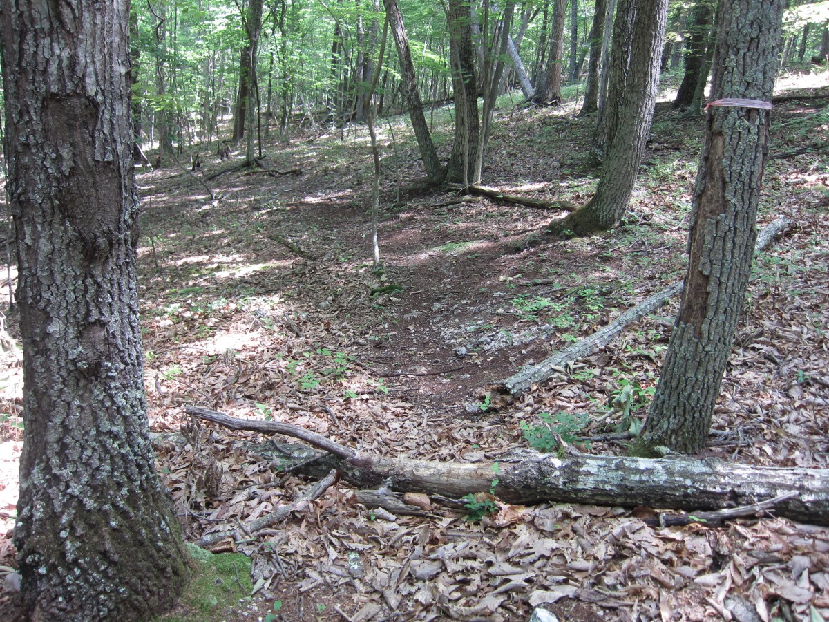
Cherokee Run (#4) is a half mile long and connects Dunkards Bottom to Shawnee Trail.

It had some fallen trees but was free of vegetation and rocks. It was on this half mile ride that I realized how short the trails are. A quick look at the free map had made me think the park was bigger than it really was.

Where Cherokee ends, the Shawnee trails (#6) begins. I recorded a single GPS track for both Shawnee and Arrowhead Gully (#8) because, again, I did not know where one ended and the other began. Riding west to east, it was an easy downhill ride (see chart below).

The free map denotes trails as easy, intermediate, and advanced but they all felt about the same to me. The Shawnee and Arrowhead Gully trails were the most fun because they were the easiest to follow. They include rocks and fallen trees but also include a few fun switchbacks (see below).

I took a right turn at the intersection of Arrowhead Gully and Old Wagon Road to bike on the Lovely Mountain Loop (#9). Unfortunately, I got lost and probably only biked half the loop. The Google Map above shows where I went. Most of what I biked was on a double wide dirt road.

I saw the following hunting platform which looked like it was in good shape.

I knew I was on a mountain biking trail because I kept crossing fallen trees with chain ring marks on them.

After passing the following house, I didn’t know whether to go right or left. I biked right for a short distance but didn’t trust it. There were trees with pink, yellow, and orange plastic ribbons on them which appeared to be identifying trail but mostly they confused me. I recommend turning around when you see this house.

Then, I biked to the left until I reached an impassable stretch that included several sets of fallen trees, one of which can be seen below.

I used both my free map and the Google Android My Tracks GPS application to try to figure where to go but I never felt confident. So, I backtracked and ended up riding on the Old Wagon trail all the way to the parking area. The following is two wood posts that I believe used to mark one end of the Shawnee Trail. At this end of the park, I never found either of the Boone Hill Trails (#10 and #11).

The Old Wagon Trail is a dirt and gravel road that is less than a mile long and that lies in the center the park.

I even got confused on this trail, which way to go? (hint: stay to the right)

I biked on Crocket Run trail from the parking area until it intersected with Boone Hill (#11).

It was a fun trail but less than a mile long and which ended in a field of tall grass.

In sum, the trails seem to have a lot of potential but I did not have fun the day I was there. I spent more time looking at my map than I did mountain biking. Some of the trails are easy to follow but others are not. I recommend visiting this park with someone who is familiar it. Other mountain biking trails nearby include Poverty Creek and Brush Mountain.
