
Twin Owls Trail started from the Lumpy Ridge trailhead, which was located a few minutes northeast of downtown Estes Park. Directions can be determined on a GPS device by searching for Lumpy Ridge Road. Hiking was the main activity on the trail with a few spots for backcountry camping. Rock climbing was allowed during times of the year when raptors are not nesting. Dogs, horses (on specific trails), and mountain bikes were not allowed. Parking was free because the trailhead was not inside the boundaries of Rocky Mountain National Park. Restrooms are provided but not water. Our cell phone signal was moderate for most of the hike.

We hiked a 1.85 mile counterclockwise loop on the Gem Lake and Twin Owls trails with a rise in elevation of 350 feet.

The day before, my wife and I hiked from the same trailhead to Gem Lake and explored the Twin Owls loop on our way back to the parking lot. We had so much fun on the loop that we returned the next day with our two kids (ages 2 and 6) and their grandparents. We started on the Gem Lake trail, which has a moderate incline.
After a half mile, we turned left at a sign that directed us to the Twin Owls View trail.

From here, the trail was mostly horizontal and rolled gently up and down a ridge. Our six year old walked the entire loop but we carried our two year old in an ERGOBaby carrier up until this point, after which he walked the rest of the way.

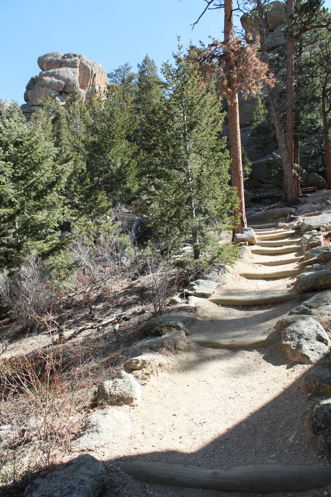
We hiked in a counterclockwise direction so the views of Longs Peak and the surrounding mountains were in front of us as opposed to behind us. In the next picture, the trail was straight and then turned right, after which additional views to the west became available.

About half way around this loop, there was a rock climber’s access trail to the upper Twin Owls. We did not explore it because it was closed due to raptor nesting. The subsequent picture was of Twin Owls and Rock One.

A little farther down the trail we saw a rock climber bouldering. What’s more, the rock in the following picture had permanent climbing anchors.

We talked to some hikers who had taken the Black Canyon Trail to Batman Rock. It sounded like fun and maybe something we’ll fully explore on our next visit. Instead, we veered off the loop for only a few hundred feet by turning right at a sign for Lawn Lake and Batman Rock. We stopped and turned around at a sign for Black Canyon trail.

Near the sign in the above picture was a warning that there would not be any toilets beyond this point and with it free “RESTOP 2” disposable human waste bags. Also near the sign was a set of benches that we used to rest and have lunch.

The next picture shows the view we had from the benches.
 After lunch, we continued on the loop with 0.6 miles remaining to return to the parking lot.
We finished by hiking up and over a small ridge.
 In sum, our group consisting of kids and grandparents thoroughly enjoyed this hike and, especially, the perfectly located benches that allowed us to rest and eat with a view of the mountains. Our kids have also had fun hiking on the Lily Lake trails.