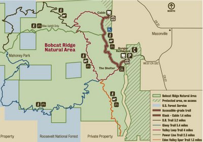
The Bobcat Ridge Natural Area is located approximately 30 minutes outside of Fort Collins, CO but is worth the drive for hikers, nordic walkers, mountain bikers, and horseback riders. If you are driving from Fort Collins then it is very important to note that you must turn left off of 38E and onto CR27 heading south when you get to Masonville. Specifically, there are no signs for either Bobcat Ridge Natural Area or CR27, so instead, you need to look for the Masonville Mercantile on the left and a brown street sign for Estes Park. Once you are heading south on CR27 there will be signs guiding you to the Bobcat Ridge Natural Area. The parking lot contains restrooms, free parking, and elongated spaces designed for trucks with horse trailers.
Hiking the Valley Loop Trail
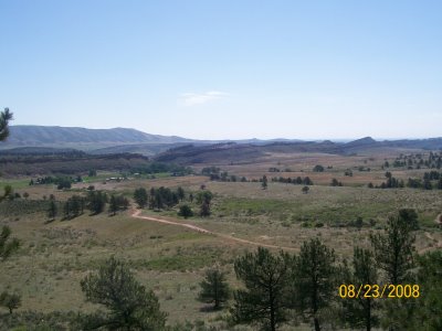
The Valley Loop Trail is 4.0 miles long and does not require much change in elevation (~300 feet). It is an easy hike that is also suitable for trail running and nordic walking. However, dogs are not allowed on any of the trails. The western half of the loop takes you along a ridge but does not include a majestic summit or viewing point. The trail does include several informational signs with the best one being the remnants of a real Tipi Ring that served as the rock foundation for a tipi. The following picture is from the highest point on the Valley Loop Trail.
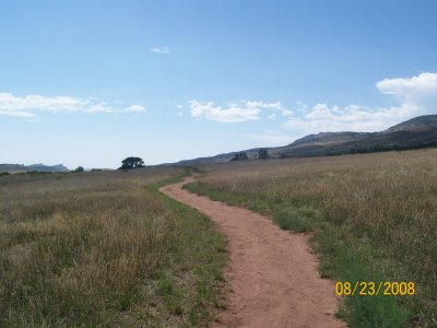
 The eastern half of the Valley Loop Trail is very flat and, thus, appropriate for running and walking. Further, there is 900 feet extension trail that leads to a cabin but, at the time of the post, it was still being constructed. Finally, the Valley Loop trail does not bestow much shade so ample water and use of sun care products are advised. The following picture shows the trail grade for the eastern half of the loop.
Horseback Riding
We saw a dozen or more horseback riders on the Valley Loop Trail. I am not a horseback rider so I can only attest to the fact that the horseback riders appeared to be enjoying themselves.
Mountain Biking
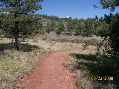
Even though the Valley Loop trail does not provide much of an elevation change (~300 feet) from a hiking perspective, it does give mountain bikers both short and steep climbs along with long and gradual climbs. It is important to note that mountain biking beyond the Valley Loop trail requires adhering to specific trail rules. For example, the Power Line Trail can only be ridden east to west so you have to return to the Valley Loop Trail by riding the Ginny Trail. In addition, you cannot ride on the D.R. Trail. Finally, the Valley Loop Trail is not very technical nor rocky but appears to be both a fun ride and a good workout.
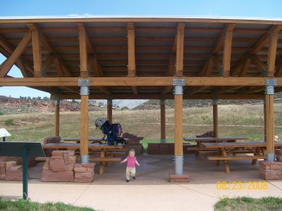
Covered Picnic Area
The Bobcat Ridge Natural Area has a covered picnic area that is 500 feet from the trailhead. It has a free binocular stand and several informational podiums. One of the informational podiums describes the 10,600 acre wildfire that engulfed part of the Bobcat Ridget Natural Area in June of 2000.
Valley Loop Trail Video
The subsequent video highlights a spot on the western half of the trail that is enjoyable for all recreational visitors including mountain bikers, hikers, and horseback riders.
Please read our full list of mountain bike trails along the northern Front Range.
